| Having
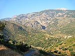
passed the ridge of Tsi Petras to Seli on the road to Sougia you enter
the East Selino district. It consists mainly of the fertile valley that
- encircled by the Lefka Ori to the east, the Apopigadi mountain to the
north, the Agios Dikios mountain to the west - extends to Sougia
and the Libyan Sea.
|
|
| The
East Selino district is famous for its 1.000 year old olive trees and
the beautiful Agia Eirini gorge, which starts approximately one kilometre
after the village of Agia Eirini - in the area called
Pentariana.
|
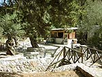 |
At
the entrance to the 8 km long gorge there is a small snack bar to the
left. |
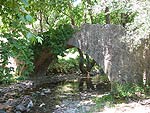
| You
should make a stop here, because behind the restaurant there is an old
bridge from the period of Cretan Independence, and on the other side
of the small river two old churches. |
|
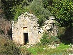 |
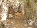
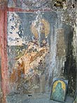
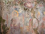
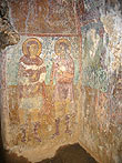
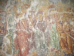
The
Agios Georgios church is from 1460, and although its roof collapsed long
ago, the frescoes
are still in incredibly good condition. |
|
|
|
|
|
|
 |
|
 |
|
|
|
|
|
|
|
|
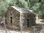
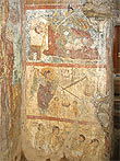
| The
other church is a Christ church from 1357. Unfortunately, the door is often
locked, which is a shame, because the church is decorated
with many beautiful frescoes. |
|
|
|
|
|
|
|
 |
|
 |
|
|
|
|
|
|
|
|
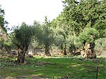 |
Behind
the churches you can see some old olive trees. |
| But
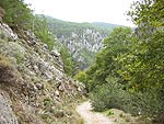
let us return and continue the walk through the gorge. |
|
|
|
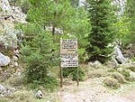 |
Soon
you meet a sign leading to Fygou, a small gorge that was formerly used
by the inhabitants to go to the Omalos Plateau. Also a small settlement
called Polla Spitakia (Many Houses) existed here. It was
built by freedom fighters in the beginning of the 19th century, after the
Turks had attacked and burned down their villages. They stayed here with
their families until the Turkish janizary Kaouris also attacked and
destroyed their new village. |
|
|
|
| In
an old manuscript the clergyman Konstantinos Fiotakis writes: "In
the year 1822, when the Turks from Selino were gathered in Kandanos,
they tried several times under the leadership of Kaouris to attack the
villages Agia
Eirini, Epanochori, Prines and Tsiskiana. They set the inhabitants'
houses on fire, forcing them to take refuge in the nearby
gorge, where they built new houses that are today still extant as a
rather big settlement. Here the inhabitants from the above-mentioned
villages lived for seven years …"
|
| Since
almost all the men in
1829 had set out for Anopoli in order to fight there, the village was
unprotected. The Turks could therefore unhindered destroy the village
and kill all the women and children. There were only two men left, who in
vain tried to fight back, but they were killed in the nearby cave Choirotrypa,
where they had taken refuge.
|
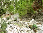
| Soon
afterward you come to a huge water cistern, built by the Forest Inspection
Service, and a "picnic area". |
|
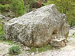 |
After
a little while you come to a big boulder that is still used as an
outdoor church consecrated to Agios Ioannis. |
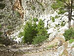
| Further
ahead you reach a steep slope. Here the track winds into the abyss next
to a big landslide - the only place in the gorge difficult to pass.
The rest of the walk does not present any difficulties. |
|
|
|
|
|
|
|
 |
|
 |
|
|
|
|
|
|
|
|
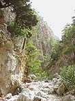
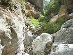
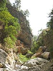
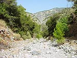
| The
last part of the walk follows the river bed. |
|
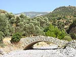 |
At
the mouth of the gorge there is an old bridge. |
|
|
|
|
|